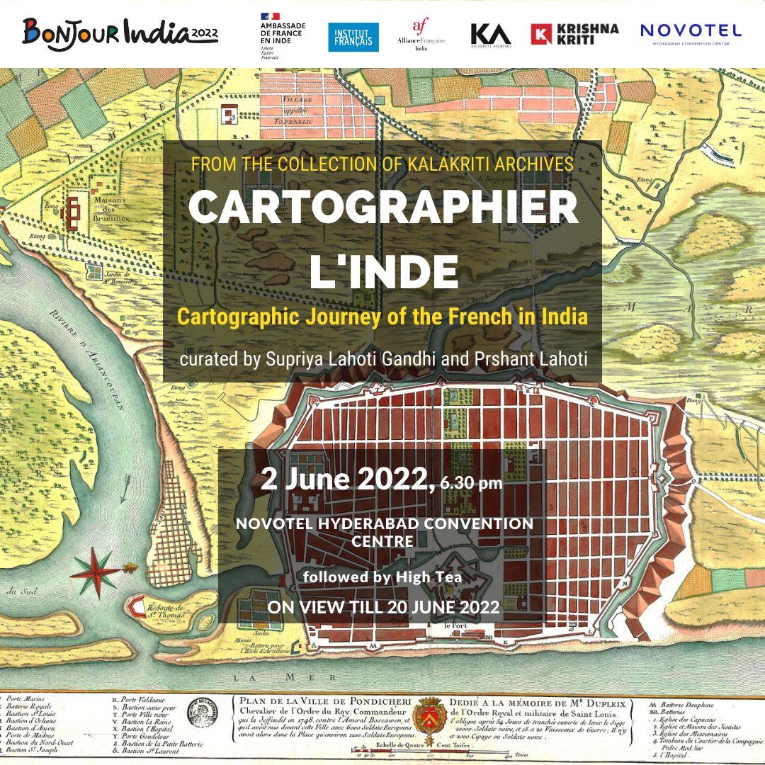
Cartographier L’Inde: Cartographic Journey of the French in India
An exhibition by Kalakriti Archives
Curated by Supriya Lahoti Gandhi & Prshant Lahoti
Inauguration by M. Thierry Berthelot, Consul General of France in Bangalore, Mr. Prshanth Lahoti and Ms. Supriya Lahoti Gandhi, curators of the exhibition and co-curators of Kalakriti Art Gallery.
on 2 June 2022, 6.30 pm at Novotel Hyderabad Convention Centre.
The exhibition will be on view till 20 June 2022 between 10am and 7 pm at Novotel Hyderabad Convention Centre.
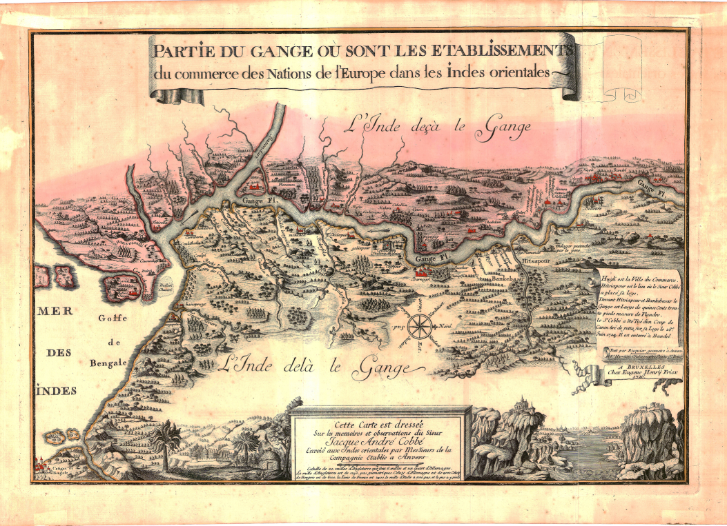
This exhibition aims to bring forth French interaction with the Indian subcontinent during the 17th- 19th centuries. Maps served as tools for traders and merchants under sail, military instruments and valuable blueprints and archives of city planning. They had an increasingly important role to play in the development of European rivalries and their realization of imperial ambitions in the subcontinent. Early cartographical maps of India have a focus on trade routes, ports and waterways. A changing perspective is observed as the Companies established settlements and political influence.
The French set up their first factories in the Indian subcontinent in the 17th century and soon became formidable players in siege of power in the 18th century. The French soon started producing maps with the most cartographical accuracy at the time. Maps from pioneering French cartographers such as Guillaume Delisle, Phillipe Buache, Joseph Tiefenthaler and Anquetil-Duperron among others will be showcased.
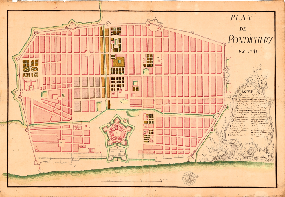
The war theater maps give a visual to the landmark battles between the French allied forces and English allied forces in the 18th century. These are important records of the European ramifications in the subcontinent, with detailed sites and progression of the battles. Furthermore, French maps of the cities of Pondichéry, Karikal, Yanaon, Mahé and Chandernagore will be explored, and changes will be traced through the centuries, where in many instances, the original design and buildings do not survive today.
The narrative of the exhibition will be divided into three sections – the Indian Subcontinent, War and City.
For regular updates of all our events and activities, follow us on:
– @alliancefrancaise_hyderabad
– @AFHyderabad (Alliance Française of Hyderabad)
@alliance-française-hyderabad (Alliance Française of Hyderabad)
– Alliance Française of Hyderabad
https://www.ifindia.in/event/cartography-india/